File:Niels Bohr Institute 1.jpg
跳转到导航
跳转到搜索

本预览的尺寸:800 × 527像素。 其他分辨率:320 × 211像素 | 640 × 422像素 | 1,024 × 675像素 | 1,280 × 843像素 | 2,048 × 1,349像素。
原始文件 (2,048 × 1,349像素,文件大小:992 KB,MIME类型:image/jpeg)
摘要
| 描述 |
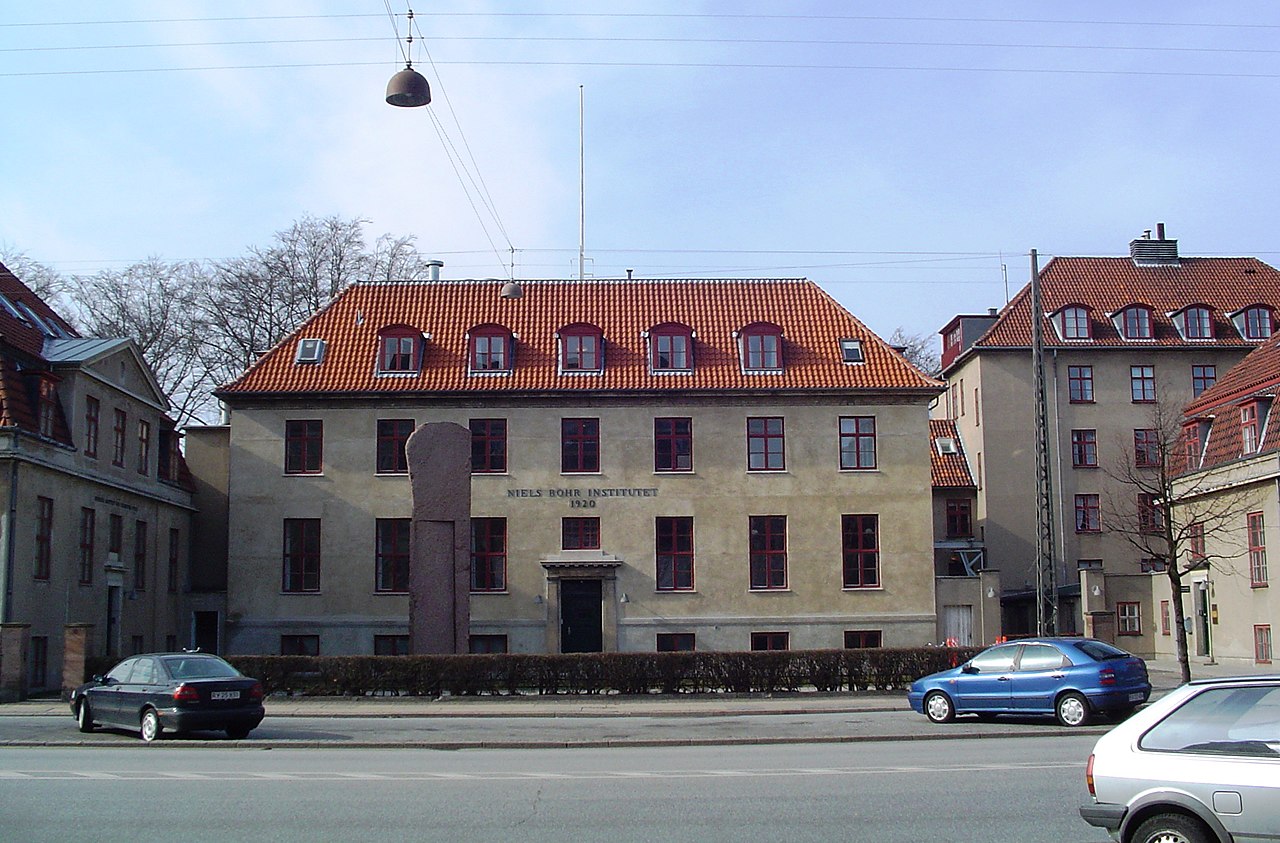
English: The Niels Bohr Institute at University of Copenhagen.
Taken by me on 26-3-2005. |
| 日期 | |
| 来源 | 自己的作品 |
| 作者 | Thue |
| 相机位置 | | 在以下服务上查看本图像和附近其他图像: OpenStreetMap |
|---|
| 物体位置 | | 在以下服务上查看本图像和附近其他图像: OpenStreetMap |
|---|
许可协议
| 我,本作品著作权人,释出本作品至公有领域。这适用于全世界。 在一些国家这可能不合法;如果是这样的话,那么: 我无条件地授予任何人以任何目的使用本作品的权利,除非这些条件是法律规定所必需的。 |
|
The article 24 of the Danish copyright law permits free uses of depictions of architecture. This, however, does not extend to the works of art that are located in public places. They cannot be commercially published when they constitute the central element of the picture.
|
文件历史
点击某个日期/时间查看对应时刻的文件。
| 日期/时间 | 缩略图 | 大小 | 用户 | 备注 | |
|---|---|---|---|---|---|
| 当前 | 2013年11月28日 (四) 10:40 | | 2,048 × 1,349(992 KB) | wikimediacommons>Soerfm | Crop |